10 km | 12,2 km-effort
La Calmette, Cante Perdrix
CAMBON
Gebruiker
Lengte
7,2 km
Max. hoogte
147 m
Positief hoogteverschil
86 m
Km-Effort
8,4 km
Min. hoogte
76 m
Negatief hoogteverschil
86 m
Boucle
Ja
Datum van aanmaak :
2014-12-10 00:00:00.0
Laatste wijziging :
2014-12-10 00:00:00.0
2h00
Moeilijkheid : Heel gemakkelijk
Gratisgps-wandelapplicatie
Over ons
Tocht Stappen van 7,2 km beschikbaar op Occitanië, Gard, La Calmette. Deze tocht wordt voorgesteld door CAMBON.
Beschrijving
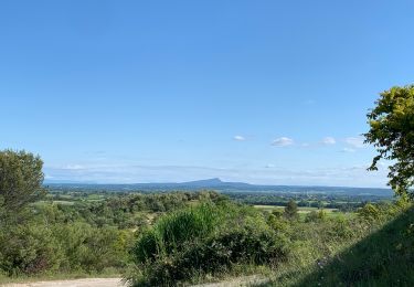
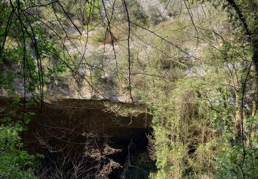
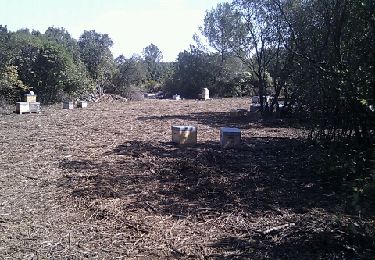
De la Calmette au nord du Clos Gaillard
Plaatsbepaling
Land:
France
Regio :
Occitanië
Departement/Provincie :
Gard
Gemeente :
La Calmette
Locatie:
Unknown
Vertrek:(Dec)
Vertrek:(UTM)
600797 ; 4863893 (31T) N.
Opmerkingen
Wandeltochten in de omgeving
Plan Rougé2
Stappen
Gemakkelijk
(1)
Gajan,
Occitanië,
Gard,
France
10,9 km | 13,4 km-effort
2h 53min
Ja
Mas des Crottes
Stappen
Gemakkelijk
(1)
Gajan,
Occitanië,
Gard,
France
13,1 km | 15,7 km-effort
3h 34min
Ja
La Rouveyrolle 2
Stappen
Medium
(1)
Gajan,
Occitanië,
Gard,
France
12,5 km | 15,2 km-effort
2h 37min
Ja
GAJAN / FONS / ST MAMERT / GAJAN
Stappen
Medium
Gajan,
Occitanië,
Gard,
France
9,9 km | 11,6 km-effort
2h 36min
Ja
Russan plateau St Nicolas et gouffre des Espelugues
Stappen
Moeilijk
Sainte-Anastasie,
Occitanië,
Gard,
France
20 km | 27 km-effort
6h 4min
Ja
Rome-17-LaCalmette-Nîmes-20150904
Stappen
Gemakkelijk
La Calmette,
Occitanië,
Gard,
France
16,4 km | 19,3 km-effort
4h 10min
Neen